Site Modeling in SketchUp

This video describes an architectural workflow for using SketchUp to build a digital site model with context buildings, aerial imagery, and 3D terrain. It covers the following:
1) Scouting the site using Google Earth and Google Maps (starting at 00:35)
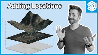
2) Bringing a geosnapshot of your site into SketchUp (starting at 05:20)
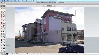
3) Importing existing 3D buildings (starting at 07:30)
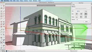
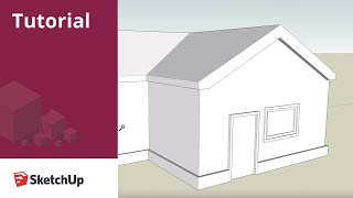
4) Modeling missing buildings from scratch (starting at 10:00)
5) Making massing model versions of the phototextured buildings (starting at 16:30)
6) Tracing roads from the aerial photo (starting at 23:47)
7) Working with a site that isn't flat (starting at 34:17)
8) Creating a new ground plane and street name labels (starting at 42:05)
9) Creating utility scenes to show different versions of the model (starting at 50:23)