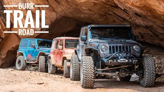
THIS ROAD IS UNREAL! (SUV Camping/Vanlife Adventures)

Check out my store! https://kamchatkagear.com
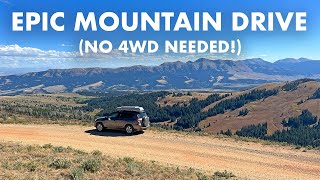
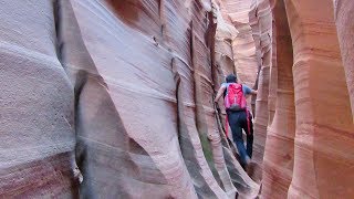
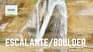
In this video I check out one last part of Grand StaircaseEscalante National Monument and then head on a staggering drive to an even more staggering campsite (that I don’t end up staying at).
DATE OF VIDEO: Late March, 2018
GPS COORDINATES
** Devil's Garden: 37.585670, 111.414708
** Hell's Backbone bridge: 37.970638, 111.599402
** The Gulch trailhead: 37.8505, 111.3161
** Granary ruin: 37.84988, 111.31843
** PeekaBoo Arch: 37.8620, 111.0357
** Burr Trail Switchbacks: 37.8488, 111.0264
** Illegal campsite (viewpoint): 37.74034, 110.94241
** Legal campsite: 37.74102, 110.94168
OTHER LINKS
** Gear I use: https://suvrving.com/gear
** SUV RVing the Book: https://www.amazon.com/dp/B01HYMKE2K/... (Affiliate link)
** The Blog: http://suvrving.com
** Instagram: / suvrving
** FKB.me (My free Kindle book website): http://fkb.me
CHANNELS YOU MAY LIKE (Tell them Tristan sent you!)
** Colorado Backcountry Adventures (Truck camping, winter camping, offgrid cabin life): / @offgridbackcountryadventures
** Finding Simon (Vanlife, motorcycle road trips, and now boat restoration): / user