New Orleans Weather: Rounds of storms move in late Thursday night

Thursday will bring a more humid, warm, and mostly dry afternoon with high temperatures in the upper 80s. By tonight, storms will move into the area. The timing looks to be roughly between 2 AM and 6 AM. There's a chance for gusty winds and heavy rain overnight. This is the first round of rain we'll see, and it should clear the area by sunrise on Friday. Most of the rain will happen on the Northshore and South MS with round one.
Friday morning looks dry, but our next round of storms begins to fire up late Friday afternoon and during the evening. This round will pose a risk of strong winds, hail, isolated tornadoes, and heavy rain that could lead to flooding. Multiple batches of steady rain could last into Friday night through Saturday morning with the second round of storms.
There will be a risk for heavy rain and flooding overall, but it's hard to say where the highest rain totals will be. So far, it looks like round two, from Friday evening through Saturday morning, will bring heftier rain totals and a bigger risk for flooding. Some guidance shows totals topping out between 57 inches for a few locations through Saturday morning.
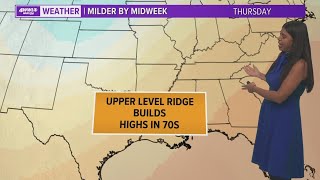
The upper disturbance responsible for all of this wet weather will move away by Sunday, bringing back sunny skies and hot temperatures near 90° each afternoon through the middle of next week. An upper ridge will keep us hot and dry heading into next week. Humidity is also here to stay.