Multiple Tornado Storm Chasers IRL - Enhanced Risk

Want to be a Member? Click here / @reedtimmerwx
Support the Chase here : https://shopnsc.com/
Get Rapid Radios here : https://bit.ly/rapidradiosnsc (Save 5% with code DOMINATOR + FREE Shipping)
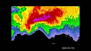
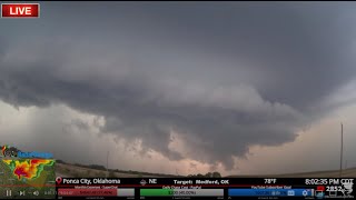
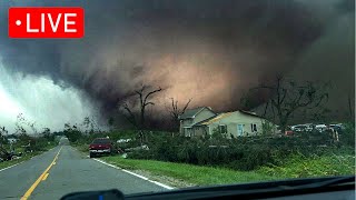
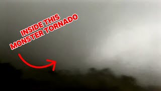
A high ceiling severe weather event with all hazards possible is happening again today across western Kansas, Oklahoma and the eastern Texas Panhandle, with tornado potential ramping up near sunset with any mature supercells with access to clean inflow. Rental Dominator in tornado intercept mode.
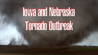
The greatest threat today for large to very large hail, severe thunderstorm gusts and a few tornadoes will be in western Oklahoma, the eastern Texas Panhandle and northwest/westcentral Texas. Several tornadoes also may occur, especially with any sustained/discrete supercells and storms near the dryline/warmfront intersection. Additional development is possible late this afternoon into tonight ahead of the dryline across parts of south TX and the Serranias del Burro region ahead of the southernstream perturbation aloft.
TODAY'S 5% RISK AREA INCLUDES Abilene, TX...San Angelo, TX...Hutchinson, KS...Big Spring, TX...Altus, OK...
TODAY'S 2% RISK AREA INCLUDES San Antonio, TX...Dallas, TX...Austin, TX...Fort Worth, TX...Oklahoma City, OK...
———————————
FOLLOW ON OTHER PLATFORMS, TIP & CONTACT ME HERE:
https://linktr.ee/reedtimmer
Guest Chasers
Edgar EdgarTheStormchaser.com
Connor https://linktr.ee/connorcroff
WxChasing @WxChasing
Guy in the corner @brianvotoole