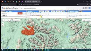
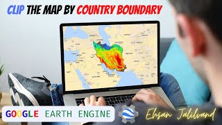
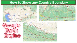
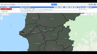
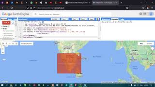
Importing GIS shapefiles into Google Earth Engine

Quick tutorial on how to import shapefiles in Google Earth Engine. Join this channel to get access to perks:
/ @terraspatial
Google Earth Engine Tutorials:
Video 0: Signup for Google Earth Engine
• Signup for Google Earth Engine accoun...
Video 1: Basic of Code Editor
• Google Earth Engine 1: Introduction t...
Video 2: Basic of Java Script API
• Google Earth Engine 2: Introduction t...
Video 3: Basic Image Visualization
• Google Earth Engine 3: Basic of Image...
Video 4: View Satellite Image Metadata
• Google Earth Engine 4: How to View Sa...
Video 5: Video NDVI Analysis Landsat 8
• Google Earth Engine 5: NDVI | Vegetat...
Video 6: Import & Visualize DEM
• Google Earth Engine 6: How to Import ...
Video 7: Image Filtering by Location, Date, Cloud Cover
• Google Earth Engine 7: Image Filterin...
Video 8: Get Image and Metadata Information
• Google Earth Engine 8: Get Image and ...
Video 9: Image Filtering 2 Path/Row, Cloud cover, No. of Image for Timeline
• Google Earth Engine 9: Image Filterin...
Video 10: Reduce Image Collection
• Reduce image collection in Google Ear...
Video 11: Overview of Features
• Overview of Features in Google Earth ...
Video 12: How to Add Sentinel image in GEE
• How to Load Sentinel 2 imagery in Goo...
Video 12 A : Create Random Sample points using GEE / Any Area
• Create Random Sample points using Goo...
Video 12 B: Change Symbology in GEE
• Import World boundary and Change its ...
Video 12 C: Buffer and Centroid analysis in Google Earth Engine
• Buffer and Centroid analysis in Googl...
Video 13: Image Neighborhood Reducer:
• Google Earth Engine 13: Image Neighbo...
Video 14: Convert Raster to Vector in Google Earth Engine
• Convert Raster to Vector in Google Ea...
Video 15: Vector to Raster Conversion
• Google Earth Engine 15: Vector to Ras...
Video 16: Creating a Time Series Chart
• Google Earth Engine 16: Create a Time...
Video 17: How to Export a Satellite Image
• Google Earth Engine 17: How to Export...
Video 18: How to create a histogram from satellite image
• Google Earth Engine 18: How to create...
Video 19: Time Lapse in GEE
• Get Back to History with Google Earth...
Video 20: Create Point data & Export it as KML and CSV files
• Google Earth Engine 20: Create Point ...
Video 21: Create and Export Timelapse Videos from Satellite Images
• Google Earth Engine 21: How to Create...
Video 22: Band composite using Sentinel Imagery
• Google Earth Engine 22: Band composit...
Video 23: How to perform convolutions on images
• Google Earth Engine 23: How to perfor...
Video 24: How to Mosaic Landsat 8 image
• Google Earth Engine 24: How to Mosaic...
Video 25: Edge Detection using Landsat 8
• Google Earth Engine 25: Edge Detectio...
Video 26: Raster Reprojection
• Google Earth Engine 26: Raster Reproj...
Video 27: Resampling Landsat 8 image using Google Earth Engine
• Earth Engine 27: Resampling Landsat 8...
Video 28: Extract Monthly Rainfall Data using Earth Engine
• Google Earth Engine 28: Extract Month...
Video 29: Extract Monthly LST Values in CSV using MODIS Imagery
• Google Earth Engine 29: Extract Month...
Video 30:Extract Monthly NDVI Values in CSV
• Google Earth Engine 30: Extract Month...
Video 31: Calculate & Extract Monthly EVI Values in CSV
• Google Earth Engine 31: Calculate & E...
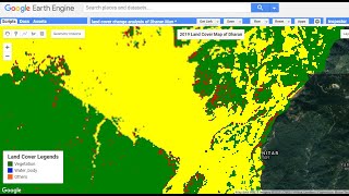
Video 32: Prepare & Export ESA Global Land Cover Data
• Google Earth Engine 32: Prepare & Exp...
Video 33: Load & Export MODIS Land Cover Data
• Google Earth Engine 33: Load & Export...
Video 34: Load & Export NLCD Land Cover Data Product
• Google Earth Engine 34: Load & Export...
Video 35: Global Surface Water Occurrence Data 19842015
• Earth Engine 35: How to Import Global...
Video 36: Finding monthly NDVI anomalies using Earth Engine
• Google Earth Engine 36: Finding month...
Video 37: Import & Visualize Global Population Density data
• Google Earth Engine 37: Import & Visu...
Video 38: Access the World Population data
• GEE 38: Access the World Population d...
Video 39: Clip & Extract World Population data
• GEE 39: Clip & Extract World Populati...
Video 40: Forest Fire Mapping with FIRMS Data
• Google Earth Engine 40: Forest Fire M...
Video 41: Mapping Global Forest Fire using MODIS Burned Area
• Google Earth Engine 41: Mapping Globa...
Video 42: Import & Visualize Carbon Monoxide (CO) data with Sentinel 5P
• Google Earth Engine 42: Import & Visu...
#googleearthengine #importing #shapefile