Charter Boat Navigation - Plotter vs. App - Which is Better? | Boating Safety on a Holiday/Vacation
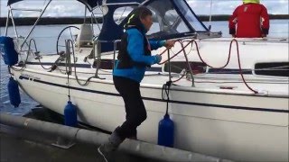
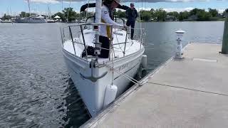
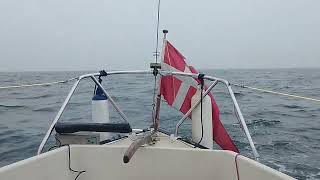
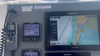
Do you know how to properly navigate on a boat? This is especially important if you are on a charter holiday and may not be used to the instruments on your charter boat or catamaran. This is not a negative review on Ray Marine just pointing out a few areas of improvement and suggesting some alternative apps like Navionics to help you drive your boat safely without running aground we don't want you to ruin your holiday by running onto the rocks or sandbars if the detail on the chart you are looking at does not show the proper depth.
Ever thought about using a paper chart? The one stowed away in the navigation station on your boat and thought you probably never thought you'd look at or even need to use. Well, I briefly show you how to use one to measure distance and to estimate how long it will take you to get from island to island on your boat charter holiday.
This video is not sponsored by Navionics or Fly2Map. We used these applications during our charter holiday when we realized the instruments on this Bali 41 catamaran weren't very detailed. I highly recommend this app though lots of detail and very user friendly!
Thank you for watching! Please like/subscribe if you enjoyed watching this video.
P.S. I provide expert level boat coaching on your boat. I will stand shoulder to shoulder with you and provide this training until you feel confident, safe and can finally Have FUN on your boat!
Please visit me at www.RoyalNavyYachtmaster.com
Instagram: Royal Navy Yachtmaster
Don't end up on YouTube for the WRONG reasons!
We'll see you out there!